
What Is the Extent of Damage Caused by 6.7M Palu Earthquake?
What Is the Extent of Damage – On Tuesday, June 16, 2026, the Meteorology, Climatology, and Geophysics Agency (BMKG) announced that no casualties had been reported following the 6.7 magnitude earthquake that shook the Palu region in Central Sulawesi. However, the agency noted that the tremor had caused measurable damage to physical infrastructure, as documented by BMKG and the Regional Disaster Management Agency (BPBD). Despite the absence of fatalities, officials emphasized the importance of monitoring the situation closely for any potential changes. “We have yet to receive any reports of fatalities thus far. We will update the information swiftly if that changes,” stated Teguh Rahayu, the Director of Seismology Engineering, Potential Geophysics, and Time Code at BMKG, during a press conference that day.
Regional Impact and Damage Reports
As of 12:00 p.m. Jakarta time, the extent of damage was categorized as moderate, affecting Sigi Regency, Parigi Moutong Regency, and the city of Palu. In Sigi, the local government reported that the Regent’s office sustained structural harm, though the severity of the damage remained under assessment. Meanwhile, at least five residential homes were completely destroyed in the area. The city of Palu, however, recorded more severe impacts, with multiple buildings experiencing significant damage. These included the Santika Hotel, several cafes, the Tadulako University Auditorium, the Best Western Hotel, and the Star Kitchen store. The BMKG confirmed that the earthquake’s focus was primarily on these locations, highlighting the vulnerability of urban infrastructure to such events.
“Up until 12:00 p.m., we received only moderate non-structural damage reports,” said Teguh Rahayu, underscoring the need for continued vigilance. He noted that while the initial assessment was encouraging, the situation could evolve as more data became available. “Residents should remain attentive to updates, as aftershocks and secondary effects may further influence the damage landscape,” he added.
Earthquake Mechanics and Fault Activity
BMKG’s Deputy for Geophysics, Nelly Florida Riama, provided additional context about the earthquake’s origin. She explained that the event occurred at a depth of 16 kilometers, classifying it as a shallow earthquake. This shallow depth, she noted, contributed to the intensity of the shaking experienced in the region. The fault responsible for the tremor was identified as the Sausu Fault, which is known for its seismic activity in Central Sulawesi. According to the source mechanism analysis, the earthquake was triggered by a normal fault, characterized by a downward movement of the Earth’s crust. This type of fault movement is often associated with areas where tectonic plates are pulling apart, leading to stress release in the form of seismic waves.
“The shallow depth and normal fault mechanism are critical factors in determining the earthquake’s impact,” Nelly Florida Riama explained. “Shallow earthquakes tend to cause more localized but intense damage, while the nature of the fault suggests ongoing tectonic stress in the region.” She further emphasized that the earthquake’s depth and mechanism were key indicators of its potential to trigger secondary hazards such as landslides or tsunamis, though no such risks were confirmed at the time.
Aftermath and Community Response
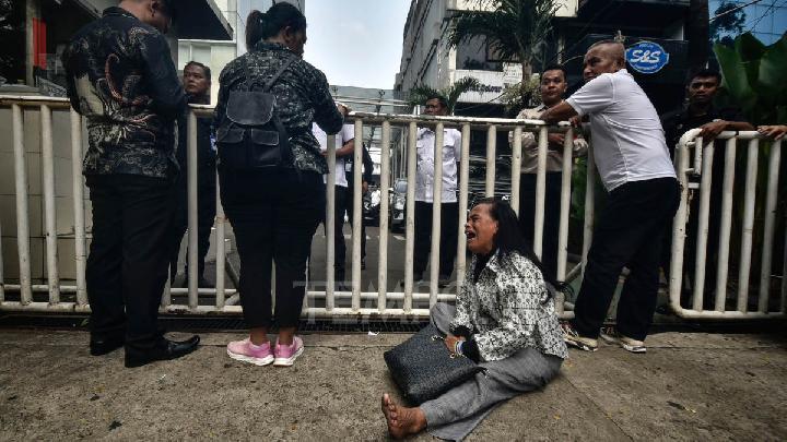
Following the initial quake, BMKG recorded a series of aftershocks, with as many as 20 occurring by 12:00 p.m. Jakarta time. The largest of these aftershocks measured 5.1 on the Richter scale, according to the agency’s latest updates. Despite the seismic activity, there was no indication of a tsunami, which was a relief for coastal communities in the region. Nelly urged residents to stay composed and avoid misinformation, which can often spread rapidly during such events. “Avoid buildings that are cracked or damaged due to the earthquake and be cautious of ongoing aftershocks,” she advised, highlighting the importance of safety measures in the immediate aftermath.
The earthquake’s impact extended beyond physical damage, raising concerns about the psychological toll on the affected population. Local authorities reported that emergency services were actively assessing the situation and coordinating efforts to support displaced residents and repair critical infrastructure. In Palu, for instance, efforts were underway to stabilize damaged buildings and ensure that essential services like electricity and water supply were restored as quickly as possible. The Regent’s office in Sigi was also working to gather detailed reports from affected areas, aiming to provide a comprehensive overview of the disaster’s reach.
Long-Term Considerations and Regional Vulnerability
While the immediate focus was on addressing the damage and ensuring public safety, experts warned that the region’s seismic history should be taken into account. Central Sulawesi has experienced several significant earthquakes in the past, including the 2018 M6.1 event that devastated the area. The Sausu Fault, in particular, is a well-known fault line that has been active for decades, making the region a hotspot for tectonic activity. Nelly Florida Riama noted that the current event, though less severe than previous ones, serves as a reminder of the potential for future disasters. “The Sausu Fault’s activity indicates that this area remains at risk, and continued monitoring is essential to prepare for any subsequent events,” she said.
Residents in Palu and surrounding areas were advised to stay within safe zones and avoid areas prone to landslides or structural collapse. The shallow depth of the earthquake increased the likelihood of such secondary effects, particularly in regions with steep terrain. In the hours following the quake, teams from BMKG and BPBD worked alongside local volunteers to conduct inspections and provide aid. The absence of fatalities was attributed to the region’s preparedness and the relatively short duration of the initial tremor. However, the damage to infrastructure highlighted the need for improved building codes and disaster response systems in the area.
As the situation unfolds, further reports are expected to refine the damage assessment. BMKG and BPBD are collaborating to compile detailed data on the extent of destruction, which will inform recovery efforts and future risk mitigation strategies. The agency also reiterated the importance of public awareness, encouraging communities to stay informed and follow official guidelines. “The earthquake’s shallow focus and normal fault mechanism are factors that could influence future seismic events,” Nelly emphasized, urging residents to remain vigilant. The ongoing aftershocks, while not as destructive as the initial quake, underscored the dynamic nature of the region’s tectonic environment.
Tempo.CO continues to monitor the situation closely, with updates expected in the coming days. The earthquake has sparked discussions about the resilience of local infrastructure and the effectiveness of current disaster management protocols. As the community begins the process of recovery, the event serves as a critical case study for understanding the interplay between seismic activity and urban development. With continued efforts from officials and residents alike, the path toward rebuilding and restoring normalcy in the affected areas remains a priority.
Read: M6.7 Earthquake Shakes Sulawesi’s Palu, No Tsunami Threat
Click here to get the latest news updates from Tempo on Google News